 Return
randonnee
Return
randonnee
Walking itinerary - Tour du Haut Giffre on foot
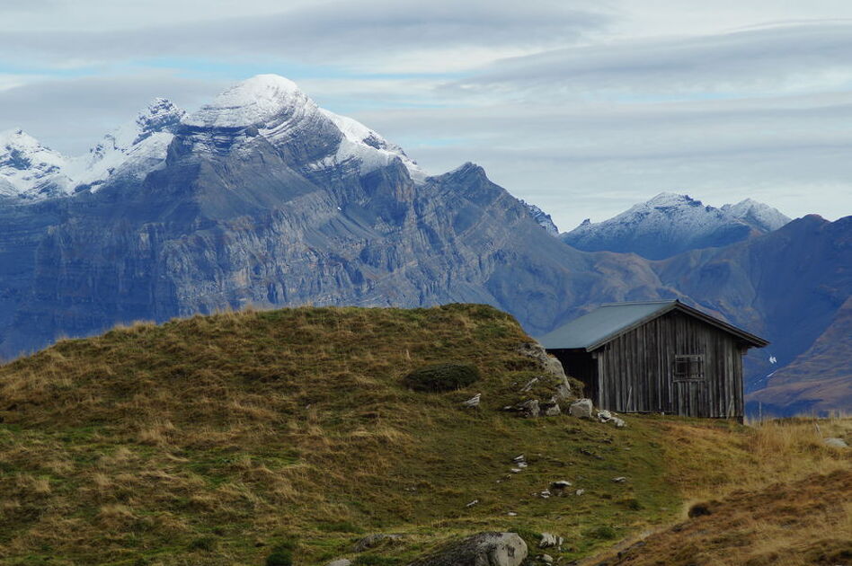
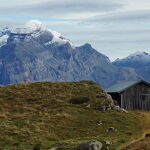

This superb tour combines several hikes set out in the guide published by the Upper Giffre association.
Description
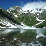
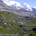
It enables you to explore all the facets of the Upper Giffre: the valley, its history and its population, the forests, the mountain pastures, and the mountain trails that provide some splendid panoramic views. The tour takes 6 or 11 days to complete and is intended for experienced hikders.
Starting altitude: 1,691m
Finishing altitude: 1,770 m
Particular difficulties: none
Recommended period June to the first snowfalls.
Itinerary for guidance only.
Itinéraire
-
 Distance
75km
Distance
75km
-
Difficulté
Modéré
-
Type d'itinéraire
Aller simple
-
Dénivelé positif
6287m
-
Dénivelé négatif
6288m
-
Itinéraire balisé
Yes
-
Nature du terrain
Rock,
Stone,
Ground,
Not suitable for strollers
-
Altitude maximum
2555m


Opening period
From 01/07 to 31/08 daily.
Subject to favorable weather.
Location
When arriving from Morillon on the D4, cross the bridge over the Giffre and turn right at the roundabout.


Parking du Grand Massif Express
Route du Grand Massif
74340 Samoëns
-
Distance
75km
-
Difficulté
Modéré
-
Dénivelé positif
6287m
-
Dénivelé négatif
6288m
Préparez votre randonnée
Documents