 Return
randonnee
Return
randonnee
Tour des Fiz: Tour of 7 refuges in 3 days #intensive
Intensive trail running ahead? Get ready with this 50km course and over 4000m EG!
Description
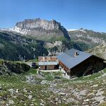
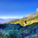
Day 1: Departure Passy Plaine Joux direction Guébriant, follow Charbonnière but before Charbonnière, turn right to climb to Platé via Les Egratz. Once at the refuge, continue towards Col du Colonney as far as Grandes Platières. Then head for Col de Platé and Col Pelouse. Descend the Combe de Gers to the Lac du Gers refuge. 6h walking, 14km, 1300D+, 1100D-.
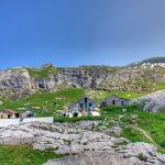
Day 2: From the Lac de Gers refuge, head downhill towards Englène, passing through La Pépinière, Entre Deux Nants and the Cascade de Sabaudy. At Englène, cross Sixt-fer-à-Cheval to reach the Lignon, from where you'll start the climb to Grenairon. Descend to the Fonts refuge. 8h15 walking, 20km, 1500D+, 1700D-.
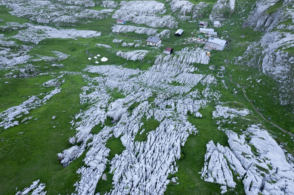
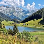
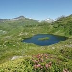
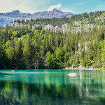
Day 3: From the refuge des Fonts, descend to the refuge Alfred Wills. Then head for Lac d'Anterne, passing Col d'Anterne before dropping down to the refuge de Moëde. Follow the signs for Lac de Pormenaz, then the Argentières trail to the Chatelet d'Ayères. From there, follow Lac Vert to your starting point. 8h walking, 18km, 1300D+, 1300D-.
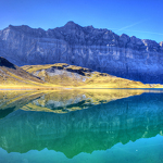
Swimming prohibited in the high altitude lakes.
Itinéraire
-
 Distance
52km
Distance
52km
-
Difficulté
Difficile
-
Type d'itinéraire
BOUCLE
-
Dénivelé positif
4100m
-
Dénivelé négatif
4100m
-
Itinéraire balisé
Yes


Opening period
From 15/06 to 10/09 daily.
Check refuge openings at www.monrefugeaupaysdumontblanc.com
From November to May, the route is cleared. Snow may still be present in spring.
In winter, access to the Tour des Fiz is not recommended (high-level ski mountaineering only).
Accessible outside the snow season and depending on weather conditions. Please check with the Tourist Offices beforehand for current access conditions and the opening hours of refuges along the route.
Subject to favorable snow and weather conditions.
Adapted tourism
-
Not accessible in a wheelchair


