Return randonnee

The Col de Bostan (unmarked route)

© The Col de Bostan (unmarked route) - SIVHG

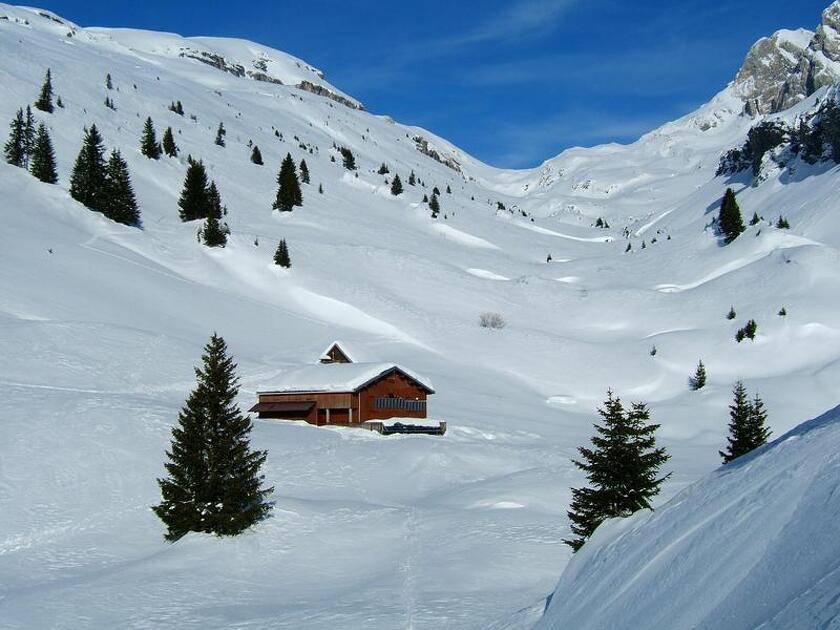
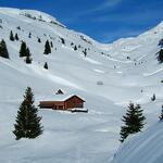
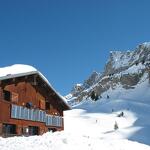
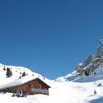
This circuit is a classic of the valley, traveled indifferently from the refuge of La Golèse or Bostan. The Bostan pass marks the border with Switzerland.

Description

Follow the wide path at the bottom of the parking area. It climbs steadily into the pretty Bostan forest, which you leave at an altitude of 1450m. Continue to the Bostan mountain chalets.
The view opens up onto the splendid Bostan valley, bordered on the right by the Dents D'Oddaz. Continue either along the left-hand combe, leading to the Bostan refuge, or the right-hand combe leading directly to the Lac des Verdets (obviously invisible at this time of year) nestled in a narrower combe.
The Bostan refuge has a small chalet behind it which is open all winter.

Shortly after this passage the slope rises a little to reach the pass. The sign at the top marks the border with Swiss territory.
The view is of the very slender Dents du Midi and the Val d'Illiez.

On your right, the Dents Blanches massif and the Col du Pas au Taureau. A few metres further down towards the Pas de La Bide is the small Swiss rescue hut of Bossetan (spelled Swiss).

The descent is made by the same route.

Itinéraire

  • Distance 13.45km
  • Type d'itinéraire Aller/retour
  • Dénivelé positif 1359m
  • Dénivelé négatif 1359m
  • Durée 06h00
  • Itinéraire balisé Yes
  • Nature du terrain 
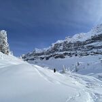
Non-groomed itinerary

Opening period

From 22/12 to 15/04.

Location

From Samoëns, take the road on the right towards "Les Allamands". The car park is 800 m beyond the village (the road is usually cleared as far as the car park Le Plan des Arches.).

Animals

Pets allowed : Yes

Pets accepted at extra cost : No

Dog on leash. Think of dog poop bags and water bowl. Can be tiring for the pet.

The Col de Bostan (unmarked route)
74340 Samoëns
  • Distance 13.45km
  • Durée 06h00
  • Dénivelé positif 1359m
  • Dénivelé négatif 1359m
Préparez votre randonnée
Documents